Geospatial applications and maps
We design and build GIS platforms, interactive web maps, and spatial data pipelines for real-time analysis and decision support.
Services
Custom maps and navigations sytems
Interactive apps with maps, 3D, and performant overlays for web and mobile.
Spatial data analytics
Spatial analytics of massive datasets such as satellite imagery or LiDAR point clouds.
Web and Mobile applications
Sofware development of Web and Mobile applications.
Industries


Oil and Gas
Satellite monitoring, infrastructure mapping, and environmental compliance solutions for energy sector operations.

Environment
Forest monitoring, carbon stock analysis, and environmental impact assessment using advanced geospatial technologies.

Telecommunication
Network coverage maps and signal strentgh maps for infrastructure planning for telecommunications providers.

E-bikes
Companion apps with maps to share your ride with your friends. Route planning and rider analytics for bike riders.

Travel
Interactive travel guides, route discovery, and location-based services for tourism and travel applications.
Tech stack
Selected work
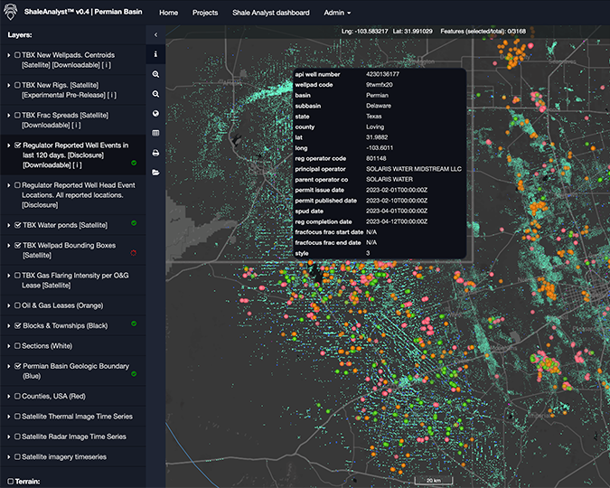
SaaS platform for O&G monitoring
Web application for automated Satellite Image Analytics
Environmental assessment
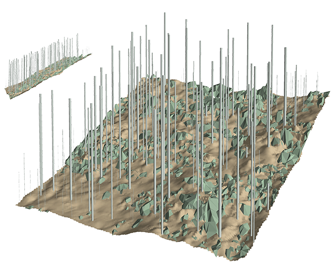
3D forest structure measurements for Carbon Stock Monitoring
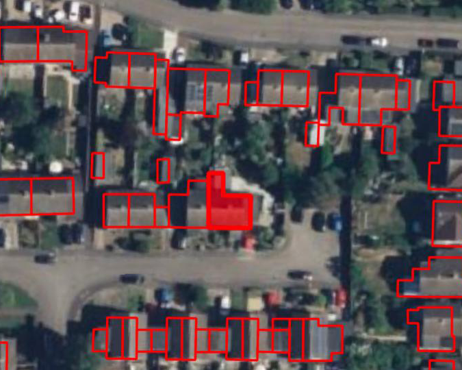
Site selection for solar panels
Analytics of nationwide LiDAR point cloud to select suitable rooftops for solar panel installations

Coverage maps
Mobile coverage maps for EE United Kingdom
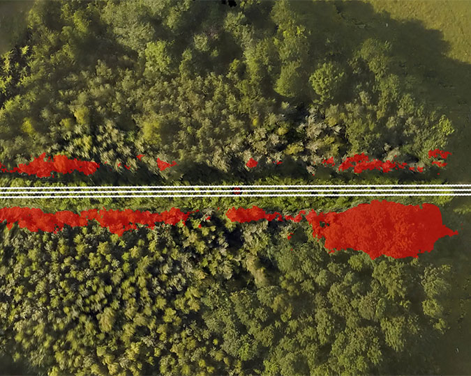
Drone mapping
Mapping of vegetation using drones

Customer engagement
Creating mapping demos and engaging with customers
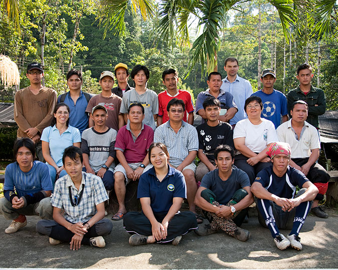
Carbon Stock Monitoring, Malaysia
Leading field campaign in Borneo, Malaysia
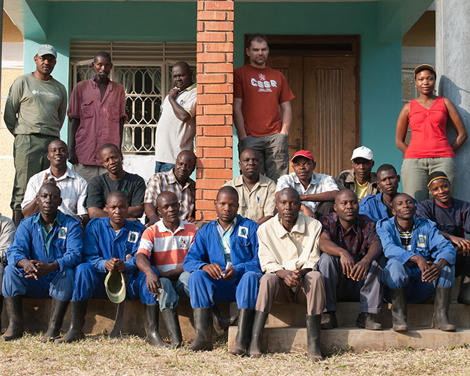
Carbon Stock Monitoring, Uganda
Leading field campaign in Kibale, Uganda

National Forest Inventory, Russia
Supervising field campaign in Russia
Have a spatial problem to solve or app to create?
Let me know
Contact
